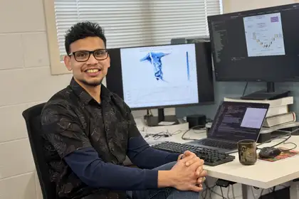
Malintha Kumarage
The goal is to give communities better information about where flooding may happen, how deep the water could be and which homes, roads and businesses might be affected. But the motivation behind Malintha’s research goes back to his childhood in Sri Lanka, where he witnessed the devastating impact of the 2004 Boxing Day tsunami in the Indian Ocean.
Because he was from the south, many of the places and communities affected were familiar to him. He remembers friends losing siblings and parents, families losing their homes and communities being devastated.
“Even though I was too young to fully understand the scale of the disaster, I could see how suddenly people's lives had changed. At that age, I did not understand earthquakes, tsunamis or disaster management in a scientific sense. What I understood was the human side of it.”
The disaster also changed how people viewed the sea.
“The sea had always been part of our everyday lives and many of our happiest memories, but afterwards people were frightened of it. For a long time, looking at the sea did not bring back the same beautiful memories it once had,” he says.
Malintha did not immediately decide to pursue emergency management. His interests instead turned towards technology. After receiving a computer from his aunt as a child, he became fascinated with how it worked and began learning to code. His interest in mathematics and problem-solving made computer science a natural fit and he later received a government scholarship to study the subject at the University of Moratuwa.
After graduating, Malintha worked as a software engineer specialising in compiler technology, helping translate programmers’ code into instructions computers can understand. He enjoyed solving complex problems and developing practical technology, but after several years he began thinking about how he could use those skills to address problems with a more direct impact on people’s lives.
As AI became increasingly capable, he saw an opportunity to bring his technical background together with the memories of growing up in a country affected by natural hazards.
“I became interested in how AI and computing could be used in emergency management.”
Now, through his PhD research, Malintha is trying to solve a problem of scale and speed. Knowing that a river may flood is useful, but people need more specific information about what that could mean for their homes, streets and businesses.
“For my PhD I’m developing a specialised AI model that can rapidly generate detailed maps showing where flooding may happen, how deep the water could be and which buildings might be affected.”
Current scientific models can take hours or even days to produce detailed flood maps. Malintha’s research aims to generate them in seconds, potentially giving authorities more time to issue targeted warnings and communities more time to prepare.
The 2021 Westport floods and flooding in the Esk Valley during Cyclone Gabrielle are examples of situations where knowing a flood is coming is only part of the challenge.
“In situations like these, simply knowing that flooding may happen is not enough. Authorities need to know where the water is likely to go and which areas could be affected.”
Aotearoa New Zealand was an appealing place to pursue that research because of its exposure to natural hazards and its focus on community preparedness. Massey’s JCDR also offered the combination of technical and disaster management expertise he was looking for.
His experience in Sri Lanka continues to influence how he approaches the research. He knows that technology needs to be practical, accessible and useful to the people who may depend on it.
“In flood forecasting, people’s safety and important decisions could depend on the information the system provides. Good technology alone is not enough. The information also needs to be clear, local and useful for the people making decisions.”
After his PhD, Malintha hopes to take his research closer to real-world use, including developing a model capable of running on an everyday laptop and working with scientists and emergency managers to test it in real situations.
Ultimately, his motivation remains connected to what he saw as an eight-year-old.
“What I’d like my work to achieve is to give people better information earlier, so they have more time to prepare, make safer decisions and reduce some of the impact. If the technology I develop can help even a small number of communities respond better to a disaster, that would be very meaningful to me,” he says.
Emergency or disaster management organises communities to respond to disasters. Massey’s in-depth emergency management courses specialise in participatory methods and research into how people think about risk, especially for volcanic eruptions. Find out more here.
Related news
Partnership powers Massey-led disaster resilience training for Manaaki scholars
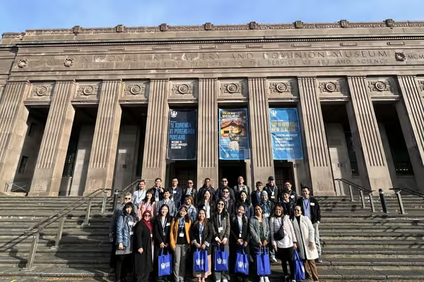
Thirty Manaaki scholars from Association of Southeast Asian Nations (ASEAN) countries experienced Aotearoa New Zealand as a classroom and a living laboratory during Te Kunenga ki Pūrehuroa Massey University’s Disaster Risk Reduction for Resilience Manaaki Short-Term Training Programme.
Advancing tsunami evacuation planning for coastal resilience in a changing climate
As climate change increases the threat of natural disasters, effective tsunami evacuation planning is more vital than ever. For Dr Azin Fathianpour, her PhD research became a personal mission, leading her to develop a simulation tool to enhance emergency planning and support the resilience of coastal cities.